
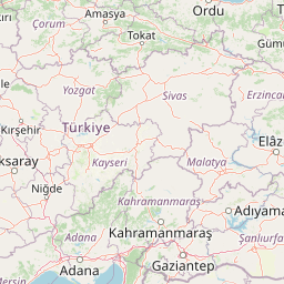
Distance between Yalova and Çorlu
Distance from Yalova to Çorlu is 85 miles / 136 kilometers.
Map showing the distance from Yalova to Çorlu
| Air distance: | miles km |
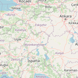

Leaflet | © OpenStreetMap contributors
Yalova
| City: | Yalova |
| Country: | Turkey |
| Coordinates: |
40°39′18″N 29°16′36″E |
Çorlu
| City: | Çorlu |
| Country: | Turkey |
| Coordinates: |
41°9′33″N 27°48′0″E |
Time difference between Yalova and Çorlu
There is no time difference between Yalova and Çorlu. Current local time in Yalova and Çorlu is 06:16 +03 (2025-01-11)