
Distance between Vasilevo and Alexandroupoli
Distance from Vasilevo to Alexandroupoli is 174 miles / 279 kilometers.
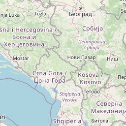
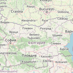
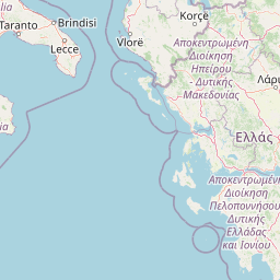
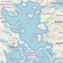
Map showing the distance from Vasilevo to Alexandroupoli
| Air distance: | miles km |

Leaflet | © OpenStreetMap contributors
Vasilevo
| City: | Vasilevo |
| Country: | Macedonia |
Alexandroupoli
| City: | Alexandroupoli |
| Country: | Greece |
Time difference between Vasilevo and Alexandroupoli
The time difference between Vasilevo and Alexandroupoli is 1 hour. Alexandroupoli is 1 hour ahead of Vasilevo. Current local time in Vasilevo is 01:32 CET (2025-01-17) and time in Alexandroupoli is 02:32 EET (2025-01-17).