
Distance between Tsqaltubo and Emet
Distance from Tsqaltubo to Emet is 726 miles / 1169 kilometers.
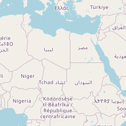
Map showing the distance from Tsqaltubo to Emet
| Air distance: | miles km |


Leaflet | © OpenStreetMap contributors
Time difference between Tsqaltubo and Emet
The time difference between Tsqaltubo and Emet is 1 hour. Emet is 1 hour behind Tsqaltubo. Current local time in Tsqaltubo is 09:44 +04 (2025-02-23) and time in Emet is 08:44 +03 (2025-02-23).