
Distance between Tresana and Lermontov
Distance from Tresana to Lermontov is 1627 miles / 2618 kilometers.
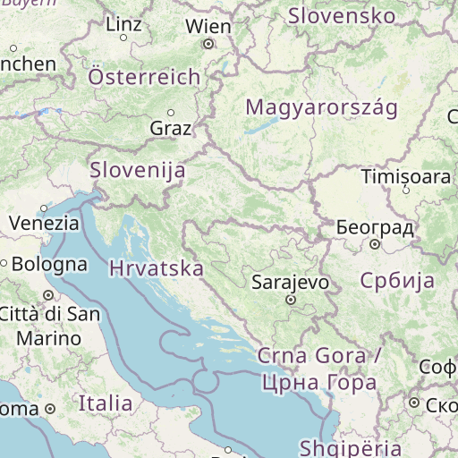
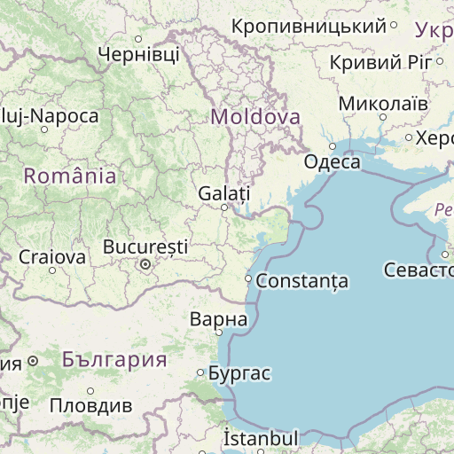
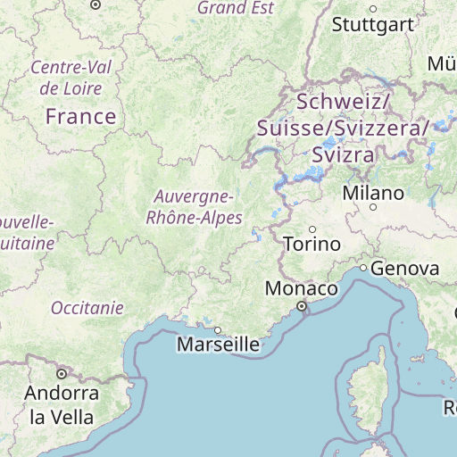
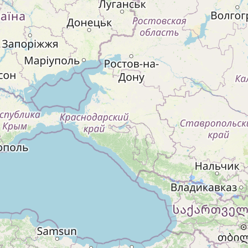
Map showing the distance from Tresana to Lermontov
| Air distance: | miles km |

Leaflet | © OpenStreetMap contributors
Tresana
| City: | Tresana |
| Country: | Italy |
| Coordinates: |
44°15′15″N 9°54′46″E |
Lermontov
| City: | Lermontov |
| Country: | Russia |
| Coordinates: |
44°6′24″N 42°58′23″E |
Time difference between Tresana and Lermontov
The time difference between Tresana and Lermontov is 2 hours. Lermontov is 2 hours ahead of Tresana. Current local time in Tresana is 03:54 CET (2024-12-28) and time in Lermontov is 05:54 MSK (2024-12-28).