
Distance between Tainai and Ami
Distance from Tainai to Ami is 148 miles / 238 kilometers.
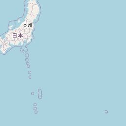
Map showing the distance from Tainai to Ami
| Air distance: | miles km |


Leaflet | © OpenStreetMap contributors
Tainai
| City: | Tainai |
| Country: | Japan |
| Coordinates: |
38°3′59″N 139°22′27″E |
Ami
| City: | Ami |
| Country: | Japan |
| Coordinates: |
36°1′59″N 140°12′0″E |
Time difference between Tainai and Ami
There is no time difference between Tainai and Ami. Current local time in Tainai and Ami is 18:47 JST (2025-01-16)