
Distance between Solec Nad Wisłą and Astana
Distance from Solec Nad Wisłą to Astana is 2111 miles / 3397 kilometers.
Map showing the distance from Solec Nad Wisłą to Astana
| Air distance: | miles km |
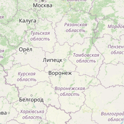
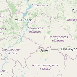

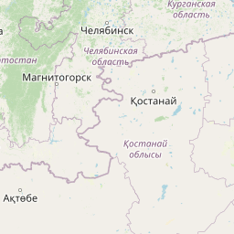

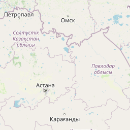

Leaflet | © OpenStreetMap contributors
Solec Nad Wisłą
| City: | Solec Nad Wisłą |
| Country: | Poland |
Astana
| City: | Astana |
| Country: | Kazakhstan |
Time difference between Solec Nad Wisłą and Astana
The time difference between Solec Nad Wisłą and Astana is 20 hours. Astana is 20 hours behind Solec Nad Wisłą. Current local time in Solec Nad Wisłą is 21:51 CET (2025-02-18) and time in Astana is 01:51 +05 (2025-02-19).