
Distance between Sharbulag and Koblenz
Distance from Sharbulag to Koblenz is 3610 miles / 5809 kilometers.
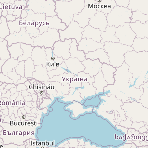
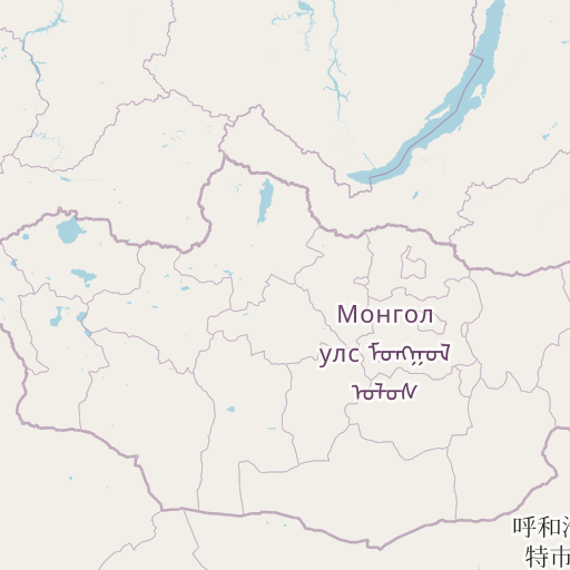
Map showing the distance from Sharbulag to Koblenz
| Air distance: | miles km |


Leaflet | © OpenStreetMap contributors
Sharbulag
| City: | Sharbulag |
| Country: | Mongolia |
| Coordinates: |
48°49′0″N 93°6′0″E |
Koblenz
| City: | Koblenz |
| Country: | Germany |
| Coordinates: |
50°21′12″N 7°34′43″E |
Time difference between Sharbulag and Koblenz
The time difference between Sharbulag and Koblenz is 6 hours. Koblenz is 6 hours behind Sharbulag. Current local time in Sharbulag is 08:10 +07 (2024-12-22) and time in Koblenz is 02:10 CET (2024-12-22).