
Distance between San Andrés Semetabaj and Totonicapán
Distance from San Andrés Semetabaj to Totonicapán is 19 miles / 30 kilometers.
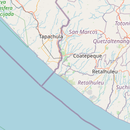
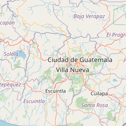
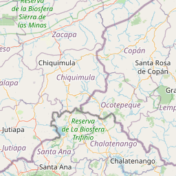
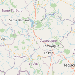
Map showing the distance from San Andrés Semetabaj to Totonicapán
| Air distance: | miles km |


Leaflet | © OpenStreetMap contributors
San Andrés Semetabaj
| City: | San Andrés Semetabaj |
| Country: | Guatemala |
Totonicapán
| City: | Totonicapán |
| Country: | Guatemala |
Time difference between San Andrés Semetabaj and Totonicapán
There is no time difference between San Andrés Semetabaj and Totonicapán. Current local time in San Andrés Semetabaj and Totonicapán is 04:08 CST (2025-02-20)