
Distance between Masinloc and Pililla
Distance from Masinloc to Pililla is 116 miles / 187 kilometers.
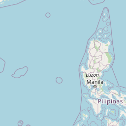
Map showing the distance from Masinloc to Pililla
| Air distance: | miles km |


Leaflet | © OpenStreetMap contributors
Masinloc
| City: | Masinloc |
| Country: | Philippines |
| Coordinates: |
15°32′10″N 119°57′0″E |
Pililla
| City: | Pililla |
| Country: | Philippines |
| Coordinates: |
14°29′7″N 121°18′22″E |
Time difference between Masinloc and Pililla
There is no time difference between Masinloc and Pililla. Current local time in Masinloc and Pililla is 11:19 PST (2025-01-15)