
Distance between Marienfelde and Tahe
Distance from Marienfelde to Tahe is 4184 miles / 6734 kilometers.
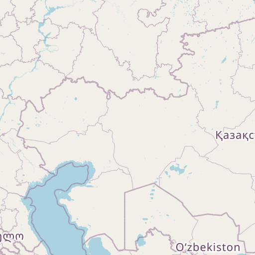
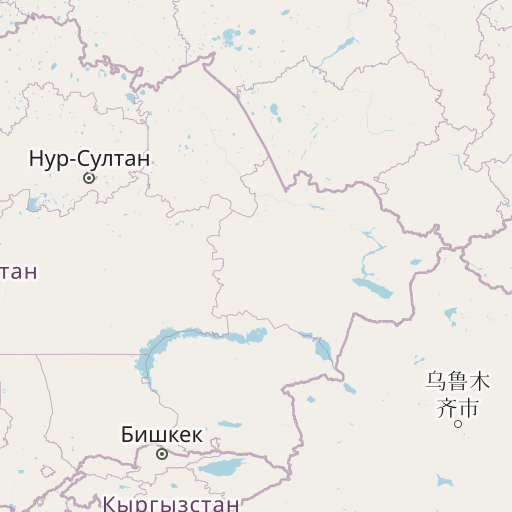
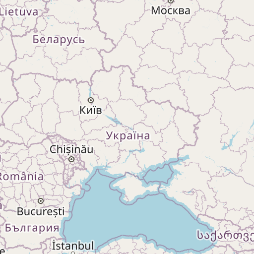
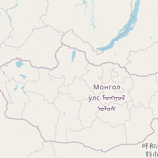
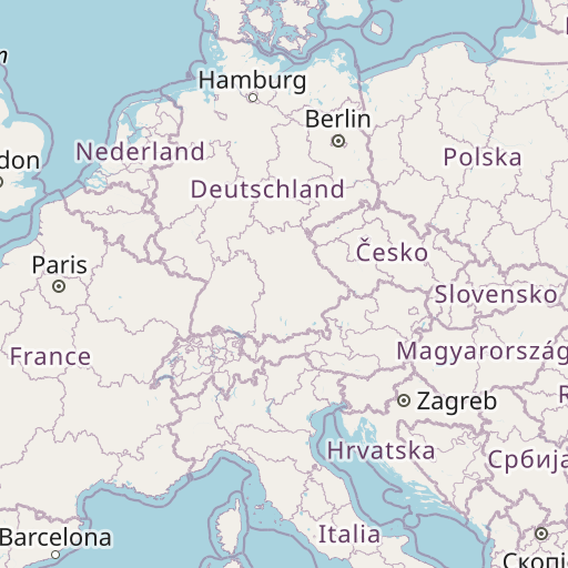
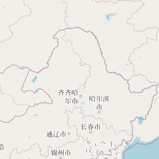
Map showing the distance from Marienfelde to Tahe
| Air distance: | miles km |

Leaflet | © OpenStreetMap contributors
Marienfelde
| City: | Marienfelde |
| Country: | Germany |
| Coordinates: |
52°25′7″N 13°22′2″E |
Tahe
| City: | Tahe |
| Country: | China |
| Coordinates: |
52°19′59″N 124°43′59″E |
Time difference between Marienfelde and Tahe
The time difference between Marienfelde and Tahe is 7 hours. Tahe is 7 hours ahead of Marienfelde. Current local time in Marienfelde is 05:47 CET (2024-12-18) and time in Tahe is 12:47 CST (2024-12-18).