
Distance between Madamba and Apas
Distance from Madamba to Apas is 173 miles / 279 kilometers.
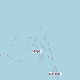
Map showing the distance from Madamba to Apas
| Air distance: | miles km |
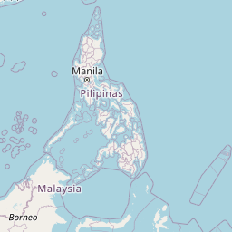

Leaflet | © OpenStreetMap contributors
Time difference between Madamba and Apas
There is no time difference between Madamba and Apas. Current local time in Madamba and Apas is 11:36 PST (2025-01-26)