
Distance between Lyubotyn and Ruda Śląska
Distance from Lyubotyn to Ruda Śląska is 755 miles / 1215 kilometers.
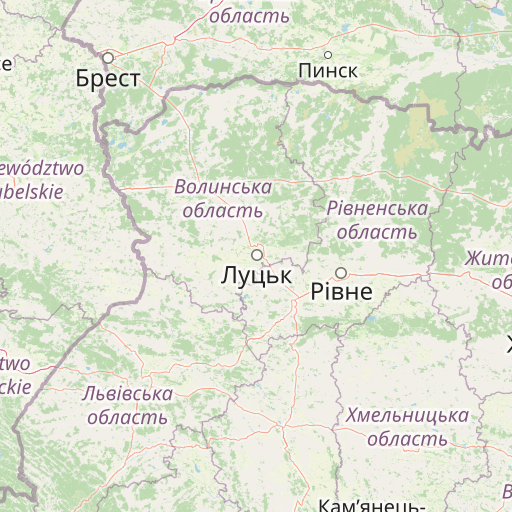
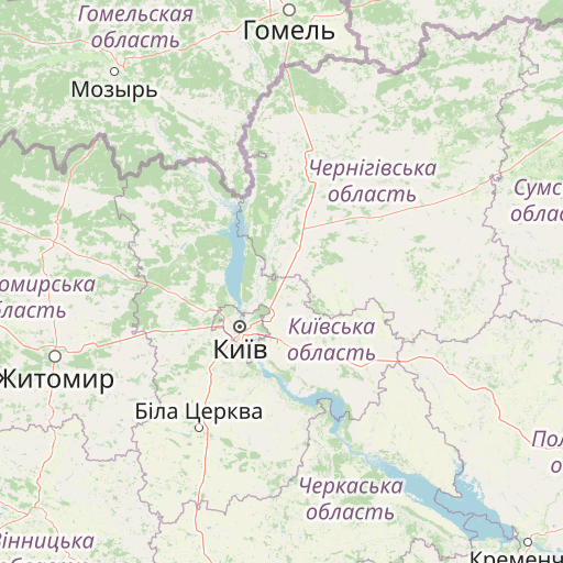
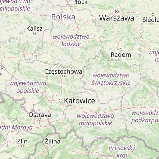
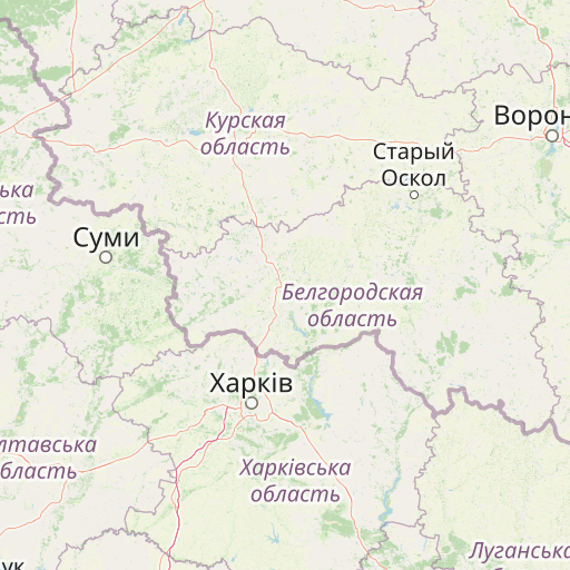
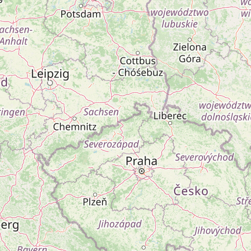
Map showing the distance from Lyubotyn to Ruda Śląska
| Air distance: | miles km |

Leaflet | © OpenStreetMap contributors
Lyubotyn
| City: | Lyubotyn |
| Country: | Ukraine |
| Coordinates: |
49°56′48″N 35°55′44″E |
Ruda Śląska
| City: | Ruda Śląska |
| Country: | Poland |
| Coordinates: |
50°15′30″N 18°51′22″E |
Time difference between Lyubotyn and Ruda Śląska
The time difference between Lyubotyn and Ruda Śląska is 1 hour. Ruda Śląska is 1 hour behind Lyubotyn. Current local time in Lyubotyn is 05:24 EET (2025-01-06) and time in Ruda Śląska is 04:24 CET (2025-01-06).