
Distance between Lauf an der Pegnitz and Klatovy
Distance from Lauf an der Pegnitz to Klatovy is 91 miles / 146 kilometers.
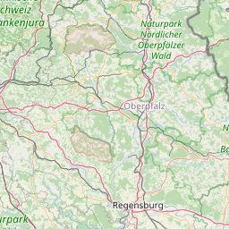
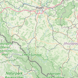
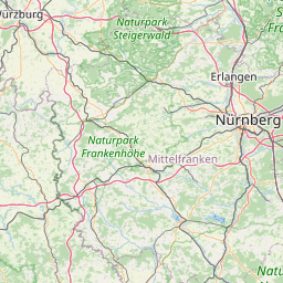
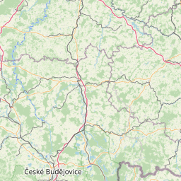
Map showing the distance from Lauf an der Pegnitz to Klatovy
| Air distance: | miles km |

Leaflet | © OpenStreetMap contributors
Lauf an der Pegnitz
| City: | Lauf an der Pegnitz |
| Country: | Germany |
| Coordinates: |
49°30′49″N 11°16′56″E |
Klatovy
| City: | Klatovy |
| Country: | Czech Republic |
| Coordinates: |
49°23′43″N 13°17′42″E |
Time difference between Lauf an der Pegnitz and Klatovy
There is no time difference between Lauf an der Pegnitz and Klatovy. Current local time in Lauf an der Pegnitz and Klatovy is 16:14 CET (2025-01-15)