
Distance between Kretinga and Smarhon’
Distance from Kretinga to Smarhon’ is 225 miles / 363 kilometers.
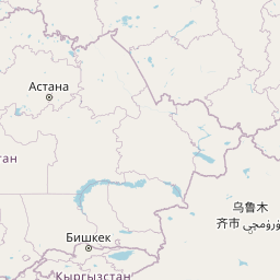
Map showing the distance from Kretinga to Smarhon’
| Air distance: | miles km |
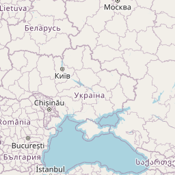
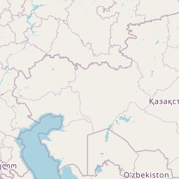


Leaflet | © OpenStreetMap contributors
Kretinga
| City: | Kretinga |
| Country: | Lithuania |
| Coordinates: |
55°53′19″N 21°14′40″E |
Smarhon’
| City: | Smarhon’ |
| Country: | Belarus |
| Coordinates: |
54°28′47″N 26°23′44″E |
Time difference between Kretinga and Smarhon’
The time difference between Kretinga and Smarhon’ is 1 hour. Smarhon’ is 1 hour ahead of Kretinga. Current local time in Kretinga is 22:25 EET (2025-01-10) and time in Smarhon’ is 23:25 +03 (2025-01-10).