
Distance between Kamal and Labuan Bajo
Distance from Kamal to Labuan Bajo is 499 miles / 803 kilometers.
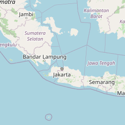
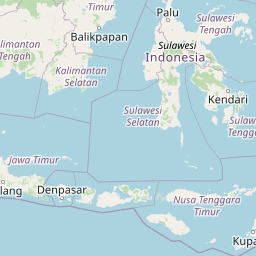
Map showing the distance from Kamal to Labuan Bajo
| Air distance: | miles km |


Leaflet | © OpenStreetMap contributors
Kamal
| City: | Kamal |
| Country: | Indonesia |
Labuan Bajo
| City: | Labuan Bajo |
| Country: | Indonesia |
Time difference between Kamal and Labuan Bajo
The time difference between Kamal and Labuan Bajo is 1 hour. Labuan Bajo is 1 hour ahead of Kamal. Current local time in Kamal is 22:41 WIB (2025-02-15) and time in Labuan Bajo is 23:41 WITA (2025-02-15).