
Distance between Iray and Anápolis
Distance from Iray to Anápolis is 1571 miles / 2528 kilometers.
Map showing the distance from Iray to Anápolis
| Air distance: | miles km |
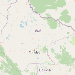
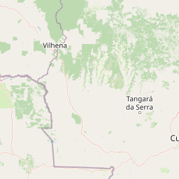
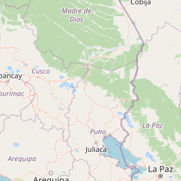
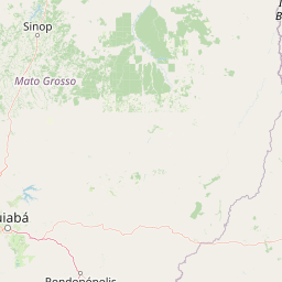
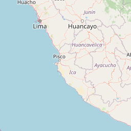
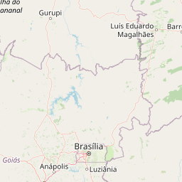

Leaflet | © OpenStreetMap contributors
Time difference between Iray and Anápolis
The time difference between Iray and Anápolis is 2 hours. Anápolis is 2 hours ahead of Iray. Current local time in Iray is 06:40 -05 (2025-02-15) and time in Anápolis is 08:40 -03 (2025-02-15).