
Distance between Guenfouda and Chlef
Distance from Guenfouda to Chlef is 223 miles / 359 kilometers.
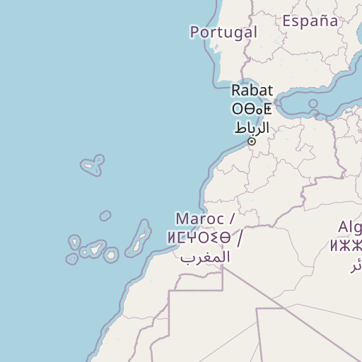
Map showing the distance from Guenfouda to Chlef
| Air distance: | miles km |


Leaflet | © OpenStreetMap contributors
Guenfouda
| City: | Guenfouda |
| Country: | Morocco |
| Coordinates: |
34°29′0″N 2°2′44″W |
Chlef
| City: | Chlef |
| Country: | Algeria |
| Coordinates: |
36°9′54″N 1°20′4″E |
Time difference between Guenfouda and Chlef
There is no time difference between Guenfouda and Chlef. Current local time in Guenfouda and Chlef is 21:14 +01 (2025-01-07)