
Distance between Gomel and Burg bei Magdeburg
Distance from Gomel to Burg bei Magdeburg is 805 miles / 1295 kilometers.
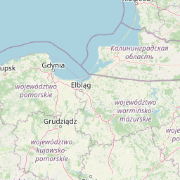
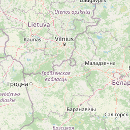
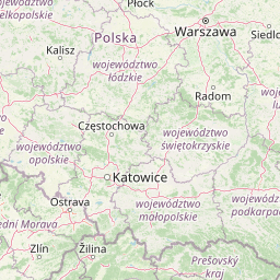
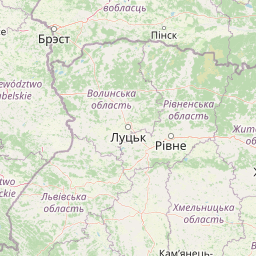
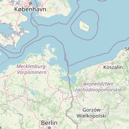
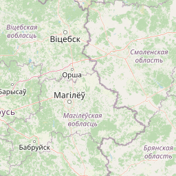
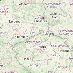
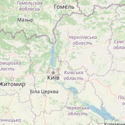
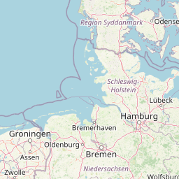
Map showing the distance from Gomel to Burg bei Magdeburg
| Air distance: | miles km |

Leaflet | © OpenStreetMap contributors
Gomel
| City: | Gomel |
| Country: | Belarus |
Burg bei Magdeburg
| City: | Burg bei Magdeburg |
| Country: | Germany |
Time difference between Gomel and Burg bei Magdeburg
The time difference between Gomel and Burg bei Magdeburg is 2 hours. Burg bei Magdeburg is 2 hours behind Gomel. Current local time in Gomel is 03:52 +03 (2025-01-17) and time in Burg bei Magdeburg is 01:52 CET (2025-01-17).