
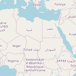
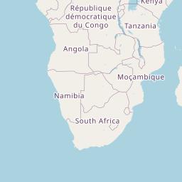
Distance between Ebebiyin and Babati
Distance from Ebebiyin to Babati is 1742 miles / 2804 kilometers.
Map showing the distance from Ebebiyin to Babati
| Air distance: | miles km |


Leaflet | © OpenStreetMap contributors
Time difference between Ebebiyin and Babati
The time difference between Ebebiyin and Babati is 2 hours. Babati is 2 hours ahead of Ebebiyin. Current local time in Ebebiyin is 10:00 WAT (2025-01-24) and time in Babati is 12:00 EAT (2025-01-24).