Distance between Dzhebel and Armavir
Distance from Dzhebel to Armavir is 982 miles / 1580 kilometers.
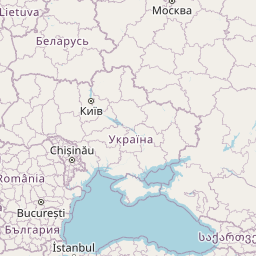
Map showing the distance from Dzhebel to Armavir
![]() |
Air distance: | miles km |
![](https://tile.openstreetmap.org/4/9/5.png)
![](https://tile.openstreetmap.org/4/10/5.png)
![](https://tile.openstreetmap.org/4/9/6.png)
![](https://tile.openstreetmap.org/4/10/6.png)
![](https://tile.openstreetmap.org/4/8/5.png)
![](https://tile.openstreetmap.org/4/11/5.png)
![](https://tile.openstreetmap.org/4/8/6.png)
![](https://tile.openstreetmap.org/4/11/6.png)
![](https://tile.openstreetmap.org/4/7/5.png)
![](https://tile.openstreetmap.org/4/12/5.png)
![](https://tile.openstreetmap.org/4/7/6.png)
![](https://tile.openstreetmap.org/4/12/6.png)
![](marker-shadow.png)
![](marker-icon.png)
Leaflet | © OpenStreetMap contributors
Time difference between Dzhebel and Armavir
The time difference between Dzhebel and Armavir is 22 hours. Armavir is 22 hours behind Dzhebel. Current local time in Dzhebel is 22:41 EET (2025-02-18) and time in Armavir is 00:41 +04 (2025-02-19).