
Distance between Ciacova and Ungheni
Distance from Ciacova to Ungheni is 339 miles / 546 kilometers.
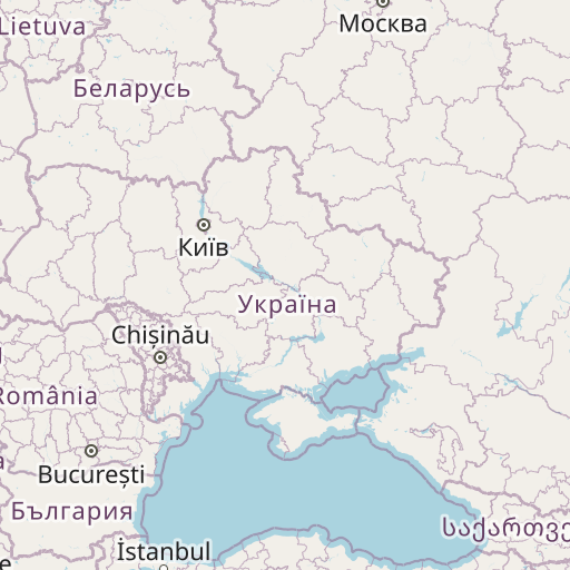
Map showing the distance from Ciacova to Ungheni
| Air distance: | miles km |


Leaflet | © OpenStreetMap contributors
Ciacova
| City: | Ciacova |
| Country: | Romania |
| Coordinates: |
45°30′29″N 21°7′42″E |
Ungheni
| City: | Ungheni |
| Country: | Moldova |
| Coordinates: |
47°12′38″N 27°48′1″E |
Time difference between Ciacova and Ungheni
There is no time difference between Ciacova and Ungheni. Current local time in Ciacova and Ungheni is 14:48 EET (2024-12-15)