
Distance between Câţcău and Oradea
Distance from Câţcău to Oradea is 88 miles / 142 kilometers.
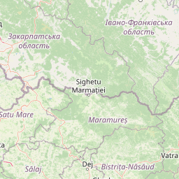
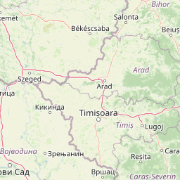
Map showing the distance from Câţcău to Oradea
| Air distance: | miles km |

Leaflet | © OpenStreetMap contributors
Câţcău
| City: | Câţcău |
| Country: | Romania |
| Coordinates: |
47°12′0″N 23°46′59″E |
Oradea
| City: | Oradea |
| Country: | Romania |
| Coordinates: |
47°2′44″N 21°55′5″E |
Time difference between Câţcău and Oradea
There is no time difference between Câţcău and Oradea. Current local time in Câţcău and Oradea is 06:15 EET (2025-01-15)