
Distance between Câţcău and Békés
Distance from Câţcău to Békés is 128 miles / 207 kilometers.
Map showing the distance from Câţcău to Békés
| Air distance: | miles km |
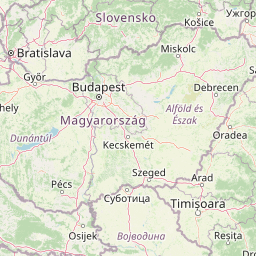
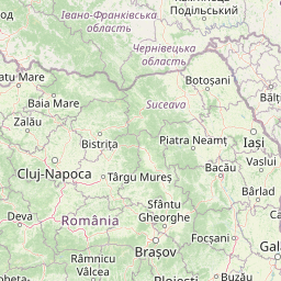

Leaflet | © OpenStreetMap contributors
Time difference between Câţcău and Békés
The time difference between Câţcău and Békés is 1 hour. Békés is 1 hour behind Câţcău. Current local time in Câţcău is 03:51 EET (2025-01-22) and time in Békés is 02:51 CET (2025-01-22).