
Distance between Cantanhede and Moncloa-Aravaca
Distance from Cantanhede to Moncloa-Aravaca is 256 miles / 412 kilometers.
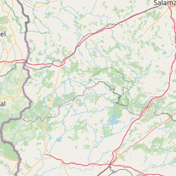
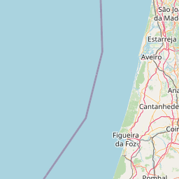
Map showing the distance from Cantanhede to Moncloa-Aravaca
| Air distance: | miles km |


Leaflet | © OpenStreetMap contributors
Cantanhede
| City: | Cantanhede |
| Country: | Portugal |
Moncloa-Aravaca
| City: | Moncloa-Aravaca |
| Country: | Spain |
Time difference between Cantanhede and Moncloa-Aravaca
The time difference between Cantanhede and Moncloa-Aravaca is 1 hour. Moncloa-Aravaca is 1 hour ahead of Cantanhede. Current local time in Cantanhede is 15:57 WET (2025-02-15) and time in Moncloa-Aravaca is 16:57 CET (2025-02-15).