
Distance between Berehove and Rosenheim
Distance from Berehove to Rosenheim is 486 miles / 783 kilometers.
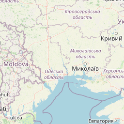
Map showing the distance from Berehove to Rosenheim
| Air distance: | miles km |
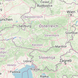

Leaflet | © OpenStreetMap contributors
Berehove
| City: | Berehove |
| Country: | Ukraine |
| Coordinates: |
48°12′19″N 22°38′39″E |
Rosenheim
| City: | Rosenheim |
| Country: | Germany |
| Coordinates: |
47°51′22″N 12°7′20″E |
Time difference between Berehove and Rosenheim
The time difference between Berehove and Rosenheim is 1 hour. Rosenheim is 1 hour ahead of Berehove. Current local time in Berehove is 04:28 UTC (2025-01-15) and time in Rosenheim is 05:28 CET (2025-01-15).