
Distance between Azov and Valjevo
Distance from Azov to Valjevo is 959 miles / 1544 kilometers.
Map showing the distance from Azov to Valjevo
| Air distance: | miles km |
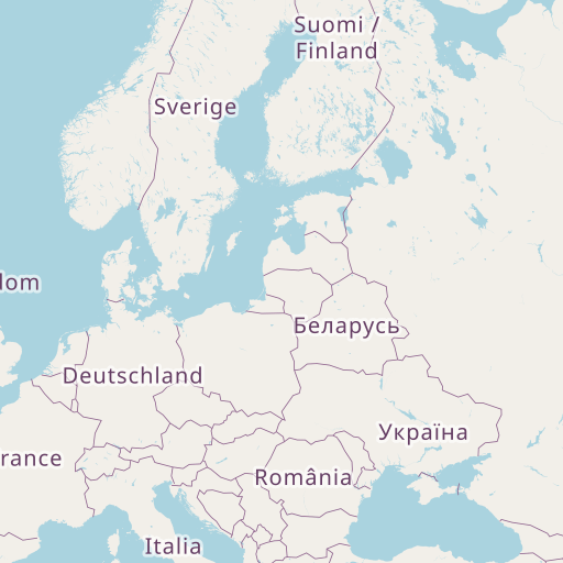

Leaflet | © OpenStreetMap contributors
Azov
| City: | Azov |
| Country: | Russia |
| Coordinates: |
47°6′28″N 39°24′59″E |
Valjevo
| City: | Valjevo |
| Country: | Serbia |
| Coordinates: |
44°16′30″N 19°53′53″E |
Time difference between Azov and Valjevo
The time difference between Azov and Valjevo is 2 hours. Valjevo is 2 hours behind Azov. Current local time in Azov is 22:25 MSK (2024-12-18) and time in Valjevo is 20:25 CET (2024-12-18).