
Distance between Aybastı and Tonghua
Distance from Aybastı to Tonghua is 4378 miles / 7045 kilometers.
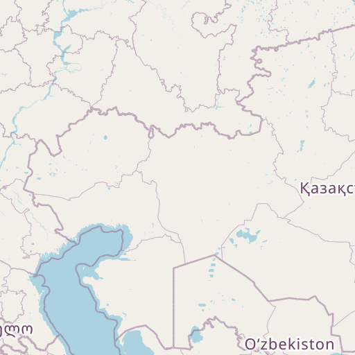
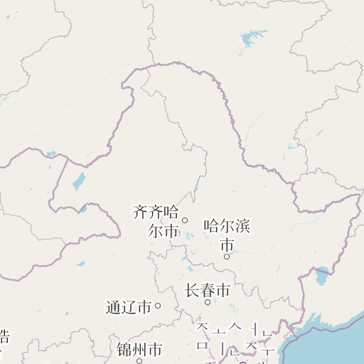
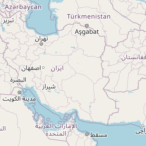
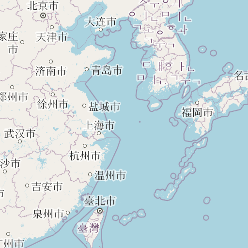
Map showing the distance from Aybastı to Tonghua
| Air distance: | miles km |
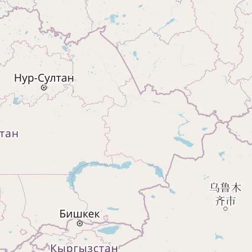
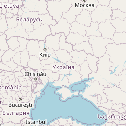

Leaflet | © OpenStreetMap contributors
Aybastı
| City: | Aybastı |
| Country: | Turkey |
| Coordinates: |
40°41′12″N 37°23′57″E |
Tonghua
| City: | Tonghua |
| Country: | China |
| Coordinates: |
41°43′10″N 125°55′35″E |
Time difference between Aybastı and Tonghua
The time difference between Aybastı and Tonghua is 5 hours. Tonghua is 5 hours ahead of Aybastı. Current local time in Aybastı is 05:09 +03 (2025-01-02) and time in Tonghua is 10:09 CST (2025-01-02).