
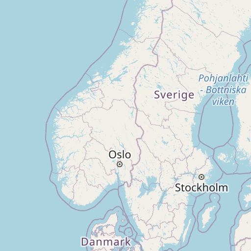
Distance between Antsla and Polevskoy
Distance from Antsla to Polevskoy is 1252 miles / 2015 kilometers.
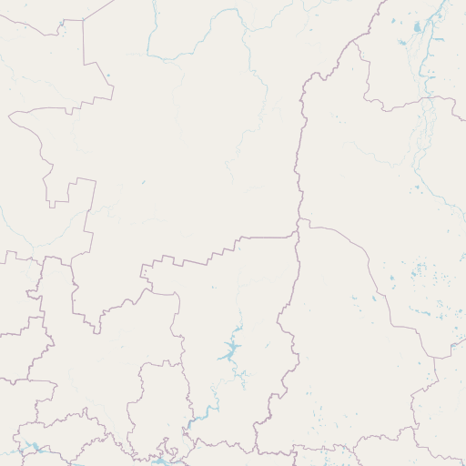
Map showing the distance from Antsla to Polevskoy
| Air distance: | miles km |


Leaflet | © OpenStreetMap contributors
Antsla
| City: | Antsla |
| Country: | Estonia |
| Coordinates: |
57°49′32″N 26°32′26″E |
Polevskoy
| City: | Polevskoy |
| Country: | Russia |
| Coordinates: |
56°26′31″N 60°11′16″E |
Time difference between Antsla and Polevskoy
The time difference between Antsla and Polevskoy is 3 hours. Polevskoy is 3 hours ahead of Antsla. Current local time in Antsla is 14:49 EET (2024-12-16) and time in Polevskoy is 17:49 +05 (2024-12-16).