
Distance between Angra dos Reis and Manhuaçu
Distance from Angra dos Reis to Manhuaçu is 240 miles / 386 kilometers.
Map showing the distance from Angra dos Reis to Manhuaçu
| Air distance: | miles km |

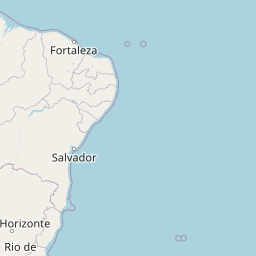


Leaflet | © OpenStreetMap contributors
Angra dos Reis
| City: | Angra dos Reis |
| Country: | Brazil |
Manhuaçu
| City: | Manhuaçu |
| Country: | Brazil |
Time difference between Angra dos Reis and Manhuaçu
There is no time difference between Angra dos Reis and Manhuaçu. Current local time in Angra dos Reis and Manhuaçu is 21:46 -03 (2025-01-16)