
Cities close to Al ‘Amūd
Cities, towns and suburbs near Al ‘Amūd. Al Aqţa‘: 17 kilometers (10 miles), Raḩabah al Kawlah: 30 kilometers (19 miles), An Najd: 35 kilometers (22 miles).
| Cities / towns / suburbs around Al ‘Amūd | Kilometers | Miles |
|---|---|---|
| How far is Al Aqţa‘ from Al ‘Amūd | 17 | 10 |
| How far is Raḩabah al Kawlah from Al ‘Amūd | 30 | 19 |
| How far is An Najd from Al ‘Amūd | 35 | 22 |
| How far is Al Ḩajab from Al ‘Amūd | 38 | 23 |
| How far is Ḩarīb from Al ‘Amūd | 40 | 25 |
| How far is Judaydah from Al ‘Amūd | 41 | 25 |
| How far is Al Ghaylah from Al ‘Amūd | 43 | 27 |
| How far is Al Ḩazm from Al ‘Amūd | 43 | 27 |
| How far is Al Qurayshīyah from Al ‘Amūd | 45 | 28 |
| How far is Ash Sharyah from Al ‘Amūd | 45 | 28 |
Closest airport to Al ‘Amūd
| Airport | Kilometers | Miles |
|---|---|---|
| Sanaa International Airport (SAH) | 135.4 | 84.1 |
| Taiz International Airport (TAI) | 162.9 | 101.2 |
| Aden International Airport (ADE) | 211.4 | 131.4 |
Location
Coordinates:
Latitude: 14°43′15″N
Longitude: 45°12′24″E
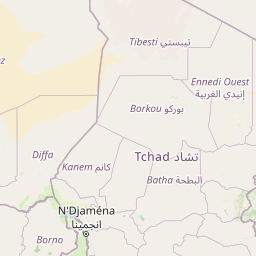
Map
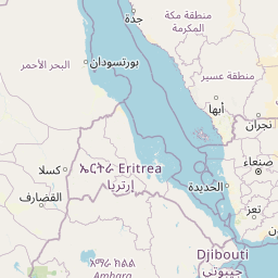
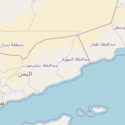
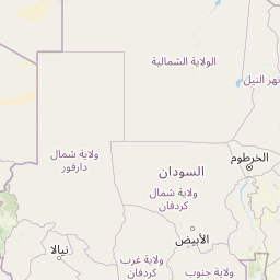


Leaflet | © OpenStreetMap contributors
Time
Current local time in Al ‘Amūd:
Time: 16:54 +03
Date: 2025-03-21
Sunrise and Sunset
| Date | Sunrise | Sunset |
|---|---|---|
| 2025-03-21 (Today) | 06:01 | 18:11 |
| 2025-03-22 (Tomorrow) | 06:00 | 18:11 |
| 2025-03-23 | 05:59 | 18:11 |
| 2025-03-24 | 05:59 | 18:11 |
| 2025-03-25 | 05:58 | 18:11 |
| 2025-03-26 | 05:57 | 18:11 |
| 2025-03-27 | 05:57 | 18:11 |