
Cities close to Thành Phố Ninh Bình
Cities, towns and suburbs near Thành Phố Ninh Bình. Thiên Tồn: 5 kilometers (3 miles), Lâm: 8 kilometers (5 miles), Yên Thịnh: 11 kilometers (7 miles).
Closest airport to Thành Phố Ninh Bình
| Airport | Kilometers | Miles |
|---|---|---|
| Cat Bi International Airport (HPH) | 99.7 | 62.0 |
| Noi Bai International Airport (HAN) | 108.7 | 67.5 |
| Vinh International Airport (VII) | 172.3 | 107.1 |
Location
Coordinates:
Latitude: 20°15′29″N
Longitude: 105°58′46″E
Map


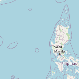


Leaflet | © OpenStreetMap contributors
Time
Current local time in Thành Phố Ninh Bình:
Time: 23:04 +07
Date: 2025-02-20
Sunrise and Sunset
| Date | Sunrise | Sunset |
|---|---|---|
| 2025-02-20 (Today) | 06:21 | 17:58 |
| 2025-02-21 (Tomorrow) | 06:20 | 17:58 |
| 2025-02-22 | 06:19 | 17:59 |
| 2025-02-23 | 06:19 | 17:59 |
| 2025-02-24 | 06:18 | 18:00 |
| 2025-02-25 | 06:17 | 18:00 |
| 2025-02-26 | 06:17 | 18:00 |