
Cities close to Thành Phố Nam Định
Cities, towns and suburbs near Thành Phố Nam Định. Mỹ Lộc: 8 kilometers (5 miles), Nam Giang: 11 kilometers (7 miles), Vũ Thư: 12 kilometers (7 miles).
Closest airport to Thành Phố Nam Định
| Airport | Kilometers | Miles |
|---|---|---|
| Cat Bi International Airport (HPH) | 71.4 | 44.4 |
| Noi Bai International Airport (HAN) | 95.7 | 59.5 |
| Van Don International Airport (VDO) | 149.6 | 92.9 |
Distance from Thành Phố Nam Định to other municipalities
Location
Coordinates:
Latitude: 20°26′2″N
Longitude: 106°10′38″E
Map


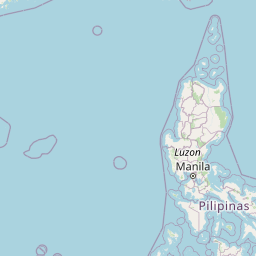


Leaflet | © OpenStreetMap contributors
Time
Current local time in Thành Phố Nam Định:
Time: 17:02 +07
Date: 2025-02-20
Sunrise and Sunset
| Date | Sunrise | Sunset |
|---|---|---|
| 2025-02-20 (Today) | 06:20 | 17:57 |
| 2025-02-21 (Tomorrow) | 06:19 | 17:57 |
| 2025-02-22 | 06:19 | 17:58 |
| 2025-02-23 | 06:18 | 17:58 |
| 2025-02-24 | 06:17 | 17:59 |
| 2025-02-25 | 06:17 | 17:59 |
| 2025-02-26 | 06:16 | 17:59 |