
Cities close to Tây Trà
Cities, towns and suburbs near Tây Trà. Sơn Hà: 18 kilometers (11 miles), Trà Bồng: 19 kilometers (12 miles), Trà My: 24 kilometers (15 miles).
| Cities / towns / suburbs around Tây Trà | Kilometers | Miles |
|---|---|---|
| How far is Sơn Hà from Tây Trà | 18 | 11 |
| How far is Trà Bồng from Tây Trà | 19 | 12 |
| How far is Trà My from Tây Trà | 24 | 15 |
| How far is Tiên Phước from Tây Trà | 36 | 22 |
| How far is Phú Ninh from Tây Trà | 43 | 27 |
| How far is Núi Thành from Tây Trà | 43 | 27 |
| How far is Minh Long from Tây Trà | 45 | 28 |
| How far is Bình Sơn from Tây Trà | 45 | 28 |
| How far is Tam Kỳ from Tây Trà | 47 | 29 |
| How far is Quảng Ngãi from Tây Trà | 47 | 29 |
Closest airport to Tây Trà
| Airport | Kilometers | Miles |
|---|---|---|
| Chu Lai Airport (VCL) | 45.4 | 28.2 |
| Da Nang International Airport (DAD) | 98.9 | 61.4 |
| Pleiku Airport (PXU) | 134.8 | 83.8 |
Location
Coordinates:
Latitude: 15°10′10″N
Longitude: 108°21′35″E
Map

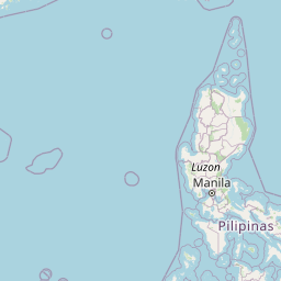


Leaflet | © OpenStreetMap contributors
Time
Current local time in Tây Trà:
Time: 21:36 +07
Date: 2025-03-21
Sunrise and Sunset
| Date | Sunrise | Sunset |
|---|---|---|
| 2025-03-21 (Today) | 05:48 | 17:58 |
| 2025-03-22 (Tomorrow) | 05:48 | 17:58 |
| 2025-03-23 | 05:47 | 17:58 |
| 2025-03-24 | 05:46 | 17:59 |
| 2025-03-25 | 05:45 | 17:59 |
| 2025-03-26 | 05:45 | 17:59 |
| 2025-03-27 | 05:44 | 17:59 |