
Cities close to Kabale
Cities, towns and suburbs near Kabale. Kisoro: 34 kilometers (21 miles), Kanungu: 39 kilometers (24 miles), Rukungiri: 46 kilometers (28 miles).
| Cities / towns / suburbs around Kabale | Kilometers | Miles |
|---|---|---|
| How far is Kisoro from Kabale | 34 | 21 |
| How far is Kanungu from Kabale | 39 | 24 |
| How far is Rukungiri from Kabale | 46 | 28 |
| How far is Ntungamo from Kabale | 51 | 32 |
| How far is Mitoma from Kabale | 63 | 39 |
| How far is Bushenyi from Kabale | 82 | 51 |
| How far is Kibingo from Kabale | 85 | 53 |
| How far is Mbarara from Kabale | 102 | 64 |
| How far is Isingiro from Kabale | 103 | 64 |
| How far is Buhweju from Kabale | 106 | 66 |
Closest airport to Kabale
| Airport | Kilometers | Miles |
|---|---|---|
| Kigali International Airport (KGL) | 81.9 | 50.9 |
| Goma International Airport (GOM) | 95.9 | 59.6 |
| Kirundo Airport (KRE) | 144.8 | 90.0 |
Distance from Kabale to other municipalities
| Municipality | Kilometers | Miles |
|---|---|---|
| How far is Ibanda from Kabale | 136 | 85 |
| How far is Hoima from Kabale | 334 | 208 |
| How far is Fort Portal from Kabale | 215 | 133 |
| How far is Mbarara from Kabale | 102 | 64 |
| How far is Gulu from Kabale | 516 | 320 |
| How far is Busia from Kabale | 494 | 307 |
| How far is Soroti from Kabale | 520 | 323 |
| How far is Kisoro from Kabale | 34 | 21 |
| How far is Mukono from Kabale | 355 | 221 |
| How far is Masaka from Kabale | 219 | 136 |
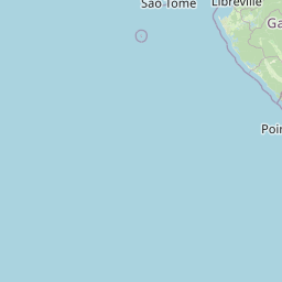
Location
Coordinates:
Latitude: 1°14′54″S
Longitude: 29°59′23″E
Map
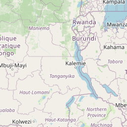


Leaflet | © OpenStreetMap contributors
Time
Current local time in Kabale:
Time: 15:24 EAT
Date: 2025-02-23
Sunrise and Sunset
| Date | Sunrise | Sunset |
|---|---|---|
| 2025-02-23 (Today) | 07:08 | 19:18 |
| 2025-02-24 (Tomorrow) | 07:07 | 19:18 |
| 2025-02-25 | 07:07 | 19:18 |
| 2025-02-26 | 07:07 | 19:18 |
| 2025-02-27 | 07:07 | 19:17 |
| 2025-02-28 | 07:07 | 19:17 |
| 2025-03-01 | 07:07 | 19:17 |