
Cities close to Ranot
Cities, towns and suburbs near Ranot. Krasae Sin: 18 kilometers (11 miles), Hua Sai: 30 kilometers (18 miles), Phatthalung: 32 kilometers (20 miles).
| Cities / towns / suburbs around Ranot | Kilometers | Miles |
|---|---|---|
| How far is Krasae Sin from Ranot | 18 | 11 |
| How far is Hua Sai from Ranot | 30 | 18 |
| How far is Phatthalung from Ranot | 32 | 20 |
| How far is Khuan Khanun from Ranot | 35 | 22 |
| How far is Sathing Phra from Ranot | 36 | 23 |
| How far is Khao Chaison from Ranot | 41 | 25 |
| How far is Cha-uat from Ranot | 41 | 26 |
| How far is Bang Kaeo from Ranot | 42 | 26 |
| How far is Pa Phayom from Ranot | 45 | 28 |
| How far is Srinagarindra from Ranot | 48 | 30 |
Closest airport to Ranot
| Airport | Kilometers | Miles |
|---|---|---|
| Trang Airport (TST) | 83.3 | 51.8 |
| Hat Yai International Airport (HDY) | 94.3 | 58.6 |
| Nakhon Si Thammarat Airport (NST) | 94.4 | 58.7 |
Location
Coordinates:
Latitude: 7°46′39″N
Longitude: 100°19′16″E
Map
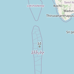

Leaflet | © OpenStreetMap contributors
Time
Current local time in Ranot:
Time: 21:08 +07
Date: 2025-03-21
Sunrise and Sunset
| Date | Sunrise | Sunset |
|---|---|---|
| 2025-03-21 (Today) | 06:21 | 18:30 |
| 2025-03-22 (Tomorrow) | 06:20 | 18:30 |
| 2025-03-23 | 06:20 | 18:30 |
| 2025-03-24 | 06:19 | 18:30 |
| 2025-03-25 | 06:19 | 18:30 |
| 2025-03-26 | 06:18 | 18:30 |
| 2025-03-27 | 06:18 | 18:30 |