
Cities close to Zürich (Kreis 6) / Unterstrass
Cities, towns and suburbs near Zürich (Kreis 6) / Unterstrass. Dielsdorf: 11 kilometers (7 miles), Bülach: 14 kilometers (9 miles), Affoltern am Albis: 15 kilometers (9 miles).
Closest airport to Zürich (Kreis 6) / Unterstrass
| Airport | Kilometers | Miles |
|---|---|---|
| Zurich Airport (ZRH) | 7.8 | 4.8 |
| St. Gallen–Altenrhein Airport (ACH) | 77.7 | 48.3 |
| EuroAirport Basel Mulhouse Freiburg (BSL) | 78.8 | 49.0 |
Location
Coordinates:
Latitude: 47°23′43″N
Longitude: 8°32′13″E
Map


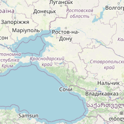

Leaflet | © OpenStreetMap contributors
Time
Current local time in Zürich (Kreis 6) / Unterstrass:
Time: 22:04 CET
Date: 2025-03-02
Sunrise and Sunset
| Date | Sunrise | Sunset |
|---|---|---|
| 2025-03-02 (Today) | 07:02 | 18:13 |
| 2025-03-03 (Tomorrow) | 07:00 | 18:15 |
| 2025-03-04 | 06:58 | 18:16 |
| 2025-03-05 | 06:56 | 18:18 |
| 2025-03-06 | 06:54 | 18:19 |
| 2025-03-07 | 06:52 | 18:21 |
| 2025-03-08 | 06:50 | 18:22 |