
Cities close to Saint Paul’s
Cities, towns and suburbs near Saint Paul’s. Dieppe Bay Town: 2 kilometers (2 miles), Sandy Point Town: 5 kilometers (3 miles), Nicola Town: 9 kilometers (6 miles).
Closest airport to Saint Paul’s
| Airport | Kilometers | Miles |
|---|---|---|
| Robert L. Bradshaw International Airport (SKB) | 16.3 | 10.1 |
| F. D. Roosevelt Airport (EUX) | 18.3 | 11.4 |
| Vance W. Amory International Airport (NEV) | 34.3 | 21.3 |
Distance from Saint Paul’s to other municipalities
| Municipality | Kilometers | Miles |
|---|---|---|
| How far is Nicola Town from Saint Paul’s | 9 | 6 |
| How far is Fig Tree from Saint Paul’s | 40 | 25 |
Location
Coordinates:
Latitude: 17°24′21″N
Longitude: 62°50′8″W
Map
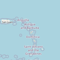


Leaflet | © OpenStreetMap contributors
Time
Current local time in Saint Paul’s:
Time: 09:12 AST
Date: 2025-02-22
Sunrise and Sunset
| Date | Sunrise | Sunset |
|---|---|---|
| 2025-02-22 (Today) | 06:32 | 18:16 |
| 2025-02-23 (Tomorrow) | 06:32 | 18:17 |
| 2025-02-24 | 06:31 | 18:17 |
| 2025-02-25 | 06:30 | 18:17 |
| 2025-02-26 | 06:30 | 18:18 |
| 2025-02-27 | 06:29 | 18:18 |
| 2025-02-28 | 06:28 | 18:18 |