
Cities close to Impfondo
Cities, towns and suburbs near Impfondo. Owando: 335 kilometers (208 miles), Ewo: 454 kilometers (282 miles), Djambala: 591 kilometers (367 miles).
| Cities / towns / suburbs around Impfondo | Kilometers | Miles |
|---|---|---|
| How far is Owando from Impfondo | 335 | 208 |
| How far is Ewo from Impfondo | 454 | 282 |
| How far is Djambala from Impfondo | 591 | 367 |
| How far is Brazzaville from Impfondo | 723 | 449 |
| How far is Kinkala from Impfondo | 759 | 472 |
| How far is Sibiti from Impfondo | 788 | 490 |
| How far is Madingou from Impfondo | 814 | 506 |
| How far is Nkayi from Impfondo | 835 | 519 |
| How far is Dolisie from Impfondo | 882 | 548 |
| How far is Loango from Impfondo | 984 | 611 |
Closest airport to Impfondo
| Airport | Kilometers | Miles |
|---|---|---|
| Mbandaka Airport (MDK) | 179.4 | 111.5 |
| Basankusu Airport (BSU) | 197.3 | 122.6 |
| Gemena Airport (GMA) | 262.0 | 162.8 |
Location
Coordinates:
Latitude: 1°37′4″N
Longitude: 18°3′35″E
Map
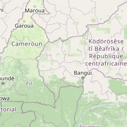

Leaflet | © OpenStreetMap contributors
Time
Current local time in Impfondo:
Time: 10:16 WAT
Date: 2025-02-18
Sunrise and Sunset
| Date | Sunrise | Sunset |
|---|---|---|
| 2025-02-18 (Today) | 05:58 | 18:04 |
| 2025-02-19 (Tomorrow) | 05:58 | 18:04 |
| 2025-02-20 | 05:58 | 18:04 |
| 2025-02-21 | 05:58 | 18:04 |
| 2025-02-22 | 05:57 | 18:04 |
| 2025-02-23 | 05:57 | 18:04 |
| 2025-02-24 | 05:57 | 18:04 |