
Cities close to Vilca
Cities, towns and suburbs near Vilca. Huayllahuara: 9 kilometers (6 miles), Pilchaca: 13 kilometers (8 miles), Chacapampa: 16 kilometers (10 miles).
| Cities / towns / suburbs around Vilca | Kilometers | Miles |
|---|---|---|
| How far is Huayllahuara from Vilca | 9 | 6 |
| How far is Pilchaca from Vilca | 13 | 8 |
| How far is Chacapampa from Vilca | 16 | 10 |
| How far is Cuenca from Vilca | 17 | 11 |
| How far is Izcuchaca from Vilca | 18 | 11 |
| How far is Colca from Vilca | 21 | 13 |
| How far is Chicche from Vilca | 23 | 14 |
| How far is Pazos from Vilca | 26 | 16 |
| How far is Cullhuas from Vilca | 28 | 17 |
| How far is Acobambilla from Vilca | 29 | 18 |
Closest airport to Vilca
| Airport | Kilometers | Miles |
|---|---|---|
| Francisco Carle Airport (JAU) | 84.1 | 52.3 |
| Coronel FAP Alfredo Mendívil Duarte Airport (AYP) | 129.9 | 80.7 |
| Lima Jorge Chávez International Airport (LIM) | 216.2 | 134.4 |
Location
Coordinates:
Latitude: 12°28′59″S
Longitude: 75°10′59″W
Map

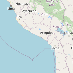


Leaflet | © OpenStreetMap contributors
Time
Current local time in Vilca:
Time: 04:19 -05
Date: 2025-03-20
Sunrise and Sunset
| Date | Sunrise | Sunset |
|---|---|---|
| 2025-03-20 (Today) | 06:03 | 18:12 |
| 2025-03-21 (Tomorrow) | 06:03 | 18:11 |
| 2025-03-22 | 06:03 | 18:11 |
| 2025-03-23 | 06:03 | 18:10 |
| 2025-03-24 | 06:03 | 18:09 |
| 2025-03-25 | 06:03 | 18:09 |
| 2025-03-26 | 06:03 | 18:08 |