
Cities close to Urpay
Cities, towns and suburbs near Urpay. Taurija: 6 kilometers (3 miles), Quiches: 12 kilometers (8 miles), Challas: 13 kilometers (8 miles).
| Cities / towns / suburbs around Urpay | Kilometers | Miles |
|---|---|---|
| How far is Taurija from Urpay | 6 | 3 |
| How far is Quiches from Urpay | 12 | 8 |
| How far is Challas from Urpay | 13 | 8 |
| How far is Ullulluco from Urpay | 13 | 8 |
| How far is Tayabamba from Urpay | 13 | 8 |
| How far is Huancaspata from Urpay | 16 | 10 |
| How far is Huaylillas from Urpay | 19 | 12 |
| How far is Chillia from Urpay | 29 | 18 |
| How far is Sihuas from Urpay | 35 | 22 |
| How far is Parcoy from Urpay | 36 | 23 |
Closest airport to Urpay
| Airport | Kilometers | Miles |
|---|---|---|
| Tnte. FAP Jaime Montreuil Morales Airport (CHM) | 153.5 | 95.4 |
| Mayor General FAP Armando Revoredo Iglesias Airport (CJA) | 181.1 | 112.5 |
| Capitán FAP Carlos Martínez de Pinillos International Airport (TRU) | 191.7 | 119.1 |
Location
Coordinates:
Latitude: 8°20′49″S
Longitude: 77°23′21″W
Map
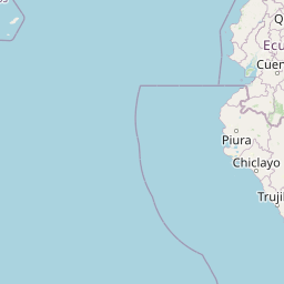
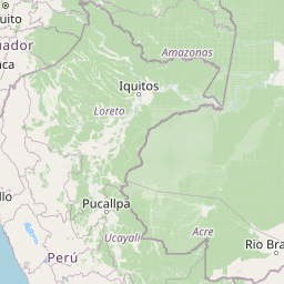
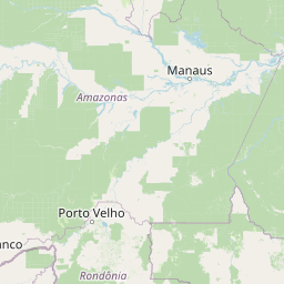


Leaflet | © OpenStreetMap contributors
Time
Current local time in Urpay:
Time: 04:19 -05
Date: 2025-03-20
Sunrise and Sunset
| Date | Sunrise | Sunset |
|---|---|---|
| 2025-03-20 (Today) | 06:12 | 18:21 |
| 2025-03-21 (Tomorrow) | 06:12 | 18:20 |
| 2025-03-22 | 06:12 | 18:20 |
| 2025-03-23 | 06:12 | 18:19 |
| 2025-03-24 | 06:12 | 18:19 |
| 2025-03-25 | 06:12 | 18:18 |
| 2025-03-26 | 06:12 | 18:18 |