
Cities close to Chupa
Cities, towns and suburbs near Chupa. Ayrampuni: 12 kilometers (8 miles), Arapa: 15 kilometers (9 miles), Taraco: 22 kilometers (14 miles).
| Cities / towns / suburbs around Chupa | Kilometers | Miles |
|---|---|---|
| How far is Ayrampuni from Chupa | 12 | 8 |
| How far is Arapa from Chupa | 15 | 9 |
| How far is Taraco from Chupa | 22 | 14 |
| How far is Putina from Chupa | 24 | 15 |
| How far is Caminaca from Chupa | 26 | 16 |
| How far is Achaya from Chupa | 26 | 16 |
| How far is Nicasio from Chupa | 32 | 20 |
| How far is Inchupalla from Chupa | 34 | 21 |
| How far is Vilque Chico from Chupa | 35 | 22 |
| How far is Calapuja from Chupa | 35 | 22 |
Closest airport to Chupa
| Airport | Kilometers | Miles |
|---|---|---|
| Inca Manco Cápac International Airport (JUL) | 45.0 | 27.9 |
| Rodríguez Ballón International Airport (AQP) | 220.2 | 136.8 |
| El Alto International Airport (LPB) | 248.1 | 154.2 |
Location
Coordinates:
Latitude: 15°6′0″S
Longitude: 69°58′59″W
Map
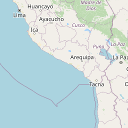


Leaflet | © OpenStreetMap contributors
Time
Current local time in Chupa:
Time: 07:55 -05
Date: 2025-03-21
Sunrise and Sunset
| Date | Sunrise | Sunset |
|---|---|---|
| 2025-03-21 (Today) | 05:42 | 17:50 |
| 2025-03-22 (Tomorrow) | 05:43 | 17:50 |
| 2025-03-23 | 05:43 | 17:49 |
| 2025-03-24 | 05:43 | 17:48 |
| 2025-03-25 | 05:43 | 17:48 |
| 2025-03-26 | 05:43 | 17:47 |
| 2025-03-27 | 05:43 | 17:46 |