
Cities close to Aucayacu
Cities, towns and suburbs near Aucayacu. Las Palmas: 52 kilometers (32 miles), Nuevo Progreso: 58 kilometers (36 miles), Uchiza: 65 kilometers (40 miles).
| Cities / towns / suburbs around Aucayacu | Kilometers | Miles |
|---|---|---|
| How far is Las Palmas from Aucayacu | 52 | 32 |
| How far is Nuevo Progreso from Aucayacu | 58 | 36 |
| How far is Uchiza from Aucayacu | 65 | 40 |
| How far is Arancay from Aucayacu | 75 | 46 |
| How far is Rapayan from Aucayacu | 77 | 48 |
| How far is Huacchis from Aucayacu | 80 | 50 |
| How far is Cochabamba from Aucayacu | 82 | 51 |
| How far is Tantamayo from Aucayacu | 84 | 52 |
| How far is Paucas from Aucayacu | 90 | 56 |
| How far is Singa from Aucayacu | 92 | 57 |
Closest airport to Aucayacu
| Airport | Kilometers | Miles |
|---|---|---|
| Alférez FAP David Figueroa Fernandini Airport (HUU) | 105.9 | 65.8 |
| FAP Captain David Abensur Rengifo International Airport (PCL) | 180.2 | 112.0 |
| Tnte. FAP Jaime Montreuil Morales Airport (CHM) | 266.1 | 165.4 |
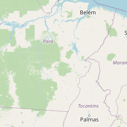
Location
Coordinates:
Latitude: 8°55′53″S
Longitude: 76°6′47″W
Map
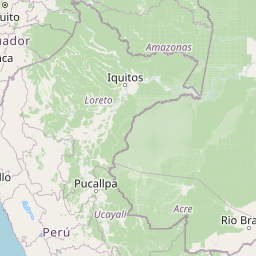


Leaflet | © OpenStreetMap contributors
Time
Current local time in Aucayacu:
Time: 08:38 -05
Date: 2025-03-21
Sunrise and Sunset
| Date | Sunrise | Sunset |
|---|---|---|
| 2025-03-21 (Today) | 06:07 | 18:15 |
| 2025-03-22 (Tomorrow) | 06:07 | 18:15 |
| 2025-03-23 | 06:07 | 18:14 |
| 2025-03-24 | 06:07 | 18:13 |
| 2025-03-25 | 06:07 | 18:13 |
| 2025-03-26 | 06:07 | 18:12 |
| 2025-03-27 | 06:07 | 18:12 |