
Cities close to Caazapá
Cities, towns and suburbs near Caazapá. Villarrica: 50 kilometers (31 miles), Coronel Oviedo: 84 kilometers (52 miles), San Juan Bautista: 94 kilometers (58 miles).
| Cities / towns / suburbs around Caazapá | Kilometers | Miles |
|---|---|---|
| How far is Villarrica from Caazapá | 50 | 31 |
| How far is Coronel Oviedo from Caazapá | 84 | 52 |
| How far is San Juan Bautista from Caazapá | 94 | 58 |
| How far is Paraguarí from Caazapá | 101 | 63 |
| How far is Caacupé from Caazapá | 119 | 74 |
| How far is Encarnación from Caazapá | 136 | 84 |
| How far is Areguá from Caazapá | 141 | 88 |
| How far is Asunción from Caazapá | 161 | 100 |
| How far is Villa Hayes from Caazapá | 169 | 105 |
| How far is Ciudad del Este from Caazapá | 192 | 119 |
Closest airport to Caazapá
| Airport | Kilometers | Miles |
|---|---|---|
| Teniente Amin Ayub Gonzalez Airport (ENO) | 126.4 | 78.5 |
| Libertador General José de San Martín Airport (PSS) | 138.2 | 85.9 |
| Silvio Pettirossi International Airport (ASU) | 157.1 | 97.6 |
Distance from Caazapá to other municipalities
| Municipality | Kilometers | Miles |
|---|---|---|
| How far is San Juan Bautista from Caazapá | 94 | 58 |
| How far is Pilar from Caazapá | 206 | 128 |
| How far is Concepción from Caazapá | 329 | 204 |
Location
Coordinates:
Latitude: 26°11′44″S
Longitude: 56°22′5″W
Map
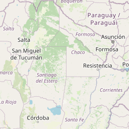


Leaflet | © OpenStreetMap contributors
Time
Current local time in Caazapá:
Time: 11:50 -03
Date: 2025-03-21
Sunrise and Sunset
| Date | Sunrise | Sunset |
|---|---|---|
| 2025-03-21 (Today) | 06:48 | 18:56 |
| 2025-03-22 (Tomorrow) | 06:49 | 18:55 |
| 2025-03-23 | 05:49 | 17:54 |
| 2025-03-24 | 05:50 | 17:53 |
| 2025-03-25 | 05:50 | 17:52 |
| 2025-03-26 | 05:50 | 17:51 |
| 2025-03-27 | 05:51 | 17:49 |