
Cities close to Støren
Cities, towns and suburbs near Støren. Melhus: 27 kilometers (17 miles), Berkåk: 28 kilometers (17 miles), Meldal: 29 kilometers (18 miles).
| Cities / towns / suburbs around Støren | Kilometers | Miles |
|---|---|---|
| How far is Melhus from Støren | 27 | 17 |
| How far is Berkåk from Støren | 28 | 17 |
| How far is Meldal from Støren | 29 | 18 |
| How far is Klæbu from Støren | 30 | 19 |
| How far is Børsa from Støren | 34 | 21 |
| How far is Orkanger from Støren | 37 | 23 |
| How far is Mebonden from Støren | 43 | 27 |
| How far is Trondheim from Støren | 44 | 27 |
| How far is Hommelvik from Støren | 49 | 30 |
| How far is Rindal from Støren | 54 | 34 |
Closest airport to Støren
| Airport | Kilometers | Miles |
|---|---|---|
| Trondheim Airport, Værnes (TRD) | 56.5 | 35.1 |
| Røros Airport (RRS) | 74.3 | 46.2 |
| Ørland Airport (OLA) | 80.9 | 50.3 |
Location
Coordinates:
Latitude: 63°2′20″N
Longitude: 10°17′6″E
Map
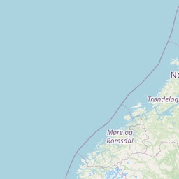
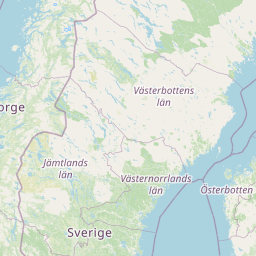
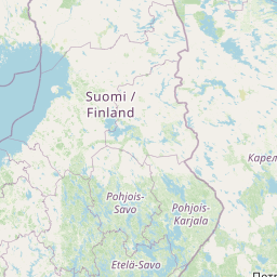

Leaflet | © OpenStreetMap contributors
Time
Current local time in Støren:
Time: 23:11 CET
Date: 2025-03-15
Sunrise and Sunset
| Date | Sunrise | Sunset |
|---|---|---|
| 2025-03-15 (Today) | 06:33 | 18:22 |
| 2025-03-16 (Tomorrow) | 06:29 | 18:25 |
| 2025-03-17 | 06:26 | 18:27 |
| 2025-03-18 | 06:23 | 18:30 |
| 2025-03-19 | 06:19 | 18:33 |
| 2025-03-20 | 06:16 | 18:36 |
| 2025-03-21 | 06:12 | 18:39 |