
Cities close to Baissa
Cities, towns and suburbs near Baissa. Lissam: 64 kilometers (40 miles), Donga: 84 kilometers (52 miles), Serti: 87 kilometers (54 miles).
| Cities / towns / suburbs around Baissa | Kilometers | Miles |
|---|---|---|
| How far is Lissam from Baissa | 64 | 40 |
| How far is Donga from Baissa | 84 | 52 |
| How far is Serti from Baissa | 87 | 54 |
| How far is Sankera from Baissa | 112 | 70 |
| How far is Wukari from Baissa | 117 | 73 |
| How far is Ibi from Baissa | 143 | 89 |
| How far is Ugba from Baissa | 144 | 90 |
| How far is Katsina-Ala from Baissa | 148 | 92 |
| How far is Mutum Biyu from Baissa | 158 | 98 |
| How far is Adikpo from Baissa | 158 | 98 |
Closest airport to Baissa
| Airport | Kilometers | Miles |
|---|---|---|
| Makurdi Airport (MDI) | 228.1 | 141.7 |
| Yola Airport (YOL) | 300.8 | 186.9 |
| Ngaoundéré Airport (NGE) | 324.4 | 201.5 |
Location
Coordinates:
Latitude: 7°13′51″N
Longitude: 10°37′27″E
Map
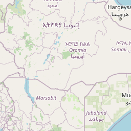

Leaflet | © OpenStreetMap contributors
Time
Current local time in Baissa:
Time: 15:09 WAT
Date: 2025-03-21
Sunrise and Sunset
| Date | Sunrise | Sunset |
|---|---|---|
| 2025-03-21 (Today) | 06:19 | 18:29 |
| 2025-03-22 (Tomorrow) | 06:19 | 18:29 |
| 2025-03-23 | 06:18 | 18:29 |
| 2025-03-24 | 06:18 | 18:28 |
| 2025-03-25 | 06:17 | 18:28 |
| 2025-03-26 | 06:17 | 18:28 |
| 2025-03-27 | 06:16 | 18:28 |