
Cities close to Upper Hutt
Cities, towns and suburbs near Upper Hutt. Palmerston North: 99 kilometers (61 miles), Blenheim: 101 kilometers (63 miles), Nelson: 148 kilometers (92 miles).
| Cities / towns / suburbs around Upper Hutt | Kilometers | Miles |
|---|---|---|
| How far is Palmerston North from Upper Hutt | 99 | 61 |
| How far is Blenheim from Upper Hutt | 101 | 63 |
| How far is Nelson from Upper Hutt | 148 | 92 |
| How far is Richmond from Upper Hutt | 158 | 98 |
| How far is Napier from Upper Hutt | 242 | 150 |
| How far is New Plymouth from Upper Hutt | 245 | 152 |
| How far is Christchurch from Upper Hutt | 332 | 206 |
| How far is Rotorua from Upper Hutt | 349 | 217 |
| How far is Greymouth from Upper Hutt | 352 | 218 |
| How far is Hamilton from Upper Hutt | 374 | 232 |
Closest airport to Upper Hutt
| Airport | Kilometers | Miles |
|---|---|---|
| Wellington International Airport (WLG) | 29.4 | 18.3 |
| Picton Aerodrome (PCN) | 94.5 | 58.7 |
| Palmerston North Airport (PMR) | 102.8 | 63.9 |
Distance from Upper Hutt to other municipalities
Location
Coordinates:
Latitude: 41°8′17″S
Longitude: 175°3′0″E
Map
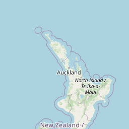

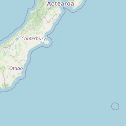


Leaflet | © OpenStreetMap contributors
Time
Current local time in Upper Hutt:
Time: 11:46 NZDT
Date: 2025-02-21
Sunrise and Sunset
| Date | Sunrise | Sunset |
|---|---|---|
| 2025-02-21 (Today) | 06:49 | 20:16 |
| 2025-02-22 (Tomorrow) | 06:51 | 20:15 |
| 2025-02-23 | 06:52 | 20:13 |
| 2025-02-24 | 06:53 | 20:12 |
| 2025-02-25 | 06:54 | 20:10 |
| 2025-02-26 | 06:55 | 20:09 |
| 2025-02-27 | 06:57 | 20:07 |