
Cities close to Thio
Cities, towns and suburbs near Thio. La Foa: 42 kilometers (26 miles), Nouméa: 77 kilometers (48 miles), Wé: 134 kilometers (83 miles).
| Cities / towns / suburbs around Thio | Kilometers | Miles |
|---|---|---|
| How far is La Foa from Thio | 42 | 26 |
| How far is Nouméa from Thio | 77 | 48 |
| How far is Wé from Thio | 134 | 83 |
| How far is Koné from Thio | 153 | 95 |
| How far is Koumac from Thio | 232 | 144 |
| How far is Wala from Thio | 341 | 212 |
Closest airport to Thio
| Airport | Kilometers | Miles |
|---|---|---|
| La Tontouta International Airport (NOU) | 44.3 | 27.5 |
| Nouméa Magenta Airport (GEA) | 76.2 | 47.3 |
| Ouvéa Airport (UVE) | 114.8 | 71.3 |
Distance from Thio to other municipalities
| Municipality | Kilometers | Miles |
|---|---|---|
| How far is Pouébo from Thio | 218 | 136 |
| How far is Poya from Thio | 114 | 71 |
| How far is Ponérihouen from Thio | 103 | 64 |
| How far is Païta from Thio | 59 | 37 |
| How far is Nouméa from Thio | 77 | 48 |
| How far is Hienghène from Thio | 169 | 105 |
| How far is Dumbéa from Thio | 64 | 40 |
| How far is Bourail from Thio | 75 | 46 |
Location
Coordinates:
Latitude: 21°37′0″S
Longitude: 166°13′0″E
Map

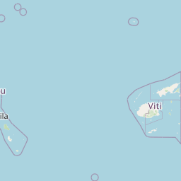


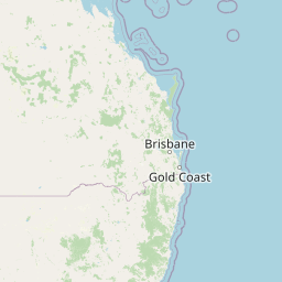

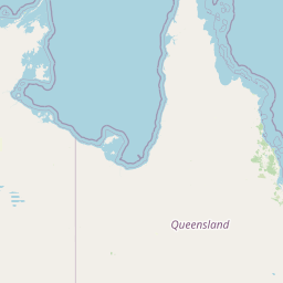


Leaflet | © OpenStreetMap contributors
Time
Current local time in Thio:
Time: 17:15 +11
Date: 2025-02-24
Sunrise and Sunset
| Date | Sunrise | Sunset |
|---|---|---|
| 2025-02-24 (Today) | 05:48 | 18:28 |
| 2025-02-25 (Tomorrow) | 05:48 | 18:27 |
| 2025-02-26 | 05:49 | 18:26 |
| 2025-02-27 | 05:49 | 18:25 |
| 2025-02-28 | 05:50 | 18:25 |
| 2025-03-01 | 05:50 | 18:24 |
| 2025-03-02 | 05:51 | 18:23 |