
Cities close to Limbang
Cities, towns and suburbs near Limbang. Kota Kinabalu: 181 kilometers (112 miles), Kuching: 628 kilometers (391 miles).
| Cities / towns / suburbs around Limbang | Kilometers | Miles |
|---|---|---|
| How far is Kota Kinabalu from Limbang | 181 | 112 |
| How far is Kuching from Limbang | 628 | 391 |
Closest airport to Limbang
| Airport | Kilometers | Miles |
|---|---|---|
| Limbang Airport (LMN) | 6.6 | 4.1 |
| Brunei International Airport (BWN) | 23.0 | 14.3 |
| Lawas Airport (LWY) | 46.6 | 28.9 |
Location
Coordinates:
Latitude: 4°45′0″N
Longitude: 115°0′0″E
Map
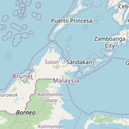

Leaflet | © OpenStreetMap contributors
Time
Current local time in Limbang:
Time: 00:02 +08
Date: 2025-02-21
Sunrise and Sunset
| Date | Sunrise | Sunset |
|---|---|---|
| 2025-02-21 (Today) | 06:32 | 18:34 |
| 2025-02-22 (Tomorrow) | 06:32 | 18:34 |
| 2025-02-23 | 06:32 | 18:34 |
| 2025-02-24 | 06:31 | 18:34 |
| 2025-02-25 | 06:31 | 18:34 |
| 2025-02-26 | 06:31 | 18:34 |
| 2025-02-27 | 06:30 | 18:34 |