
Cities close to Vangviang
Cities, towns and suburbs near Vangviang. Muang Phôn-Hông: 48 kilometers (30 miles), Sainyabuli: 86 kilometers (53 miles), Ban Xiang-Ngeun: 97 kilometers (60 miles).
| Cities / towns / suburbs around Vangviang | Kilometers | Miles |
|---|---|---|
| How far is Muang Phôn-Hông from Vangviang | 48 | 30 |
| How far is Sainyabuli from Vangviang | 86 | 53 |
| How far is Ban Xiang-Ngeun from Vangviang | 97 | 60 |
| How far is Muang Phônsavan from Vangviang | 100 | 62 |
| How far is Vientiane from Vangviang | 108 | 67 |
| How far is Luang Prabang from Vangviang | 112 | 70 |
| How far is Muang Sanakham from Vangviang | 139 | 86 |
| How far is Borikhan from Vangviang | 141 | 87 |
| How far is Muang Pakxan from Vangviang | 141 | 88 |
| How far is Muang Mok from Vangviang | 164 | 102 |
Closest airport to Vangviang
| Airport | Kilometers | Miles |
|---|---|---|
| Sayaboury Airport (ZBY) | 85.5 | 53.1 |
| Xieng Khouang Airport (XKH) | 94.9 | 59.0 |
| Wattay International Airport (VTE) | 104.8 | 65.1 |
Distance from Vangviang to other municipalities
Location
Coordinates:
Latitude: 18°55′24″N
Longitude: 102°26′52″E
Map


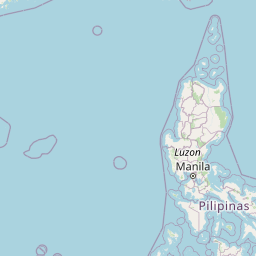


Leaflet | © OpenStreetMap contributors
Time
Current local time in Vangviang:
Time: 03:41 +07
Date: 2025-02-19
Sunrise and Sunset
| Date | Sunrise | Sunset |
|---|---|---|
| 2025-02-19 (Today) | 06:34 | 18:13 |
| 2025-02-20 (Tomorrow) | 06:34 | 18:13 |
| 2025-02-21 | 06:33 | 18:14 |
| 2025-02-22 | 06:32 | 18:14 |
| 2025-02-23 | 06:32 | 18:14 |
| 2025-02-24 | 06:31 | 18:15 |
| 2025-02-25 | 06:30 | 18:15 |