
Cities close to Irbid
Cities, towns and suburbs near Irbid. Al Ḩişn: 9 kilometers (5 miles), Sammā ar Rawsān: 9 kilometers (6 miles), Al Mazār ash Shamālī: 11 kilometers (7 miles).
Closest airport to Irbid
| Airport | Kilometers | Miles |
|---|---|---|
| Rosh Pina Airport (RPN) | 54.0 | 33.6 |
| Amman Civil Airport (ADJ) | 66.2 | 41.2 |
| Haifa Airport (HFA) | 80.7 | 50.2 |
Distance from Irbid to other municipalities
| Municipality | Kilometers | Miles |
|---|---|---|
| How far is Aqaba from Irbid | 346 | 215 |
| How far is ‘Ajlūn from Irbid | 26 | 16 |
| How far is Wādī as Sīr from Irbid | 67 | 42 |
| How far is Umm as Summāq from Irbid | 75 | 46 |
| How far is Ma'an from Irbid | 263 | 163 |
| How far is ‘Izrā from Irbid | 156 | 97 |
| How far is As Salţ from Irbid | 59 | 36 |
| How far is ‘Anjarah from Irbid | 29 | 18 |
| How far is Qīr Moāv from Irbid | 153 | 95 |
| How far is Russeifa from Irbid | 63 | 39 |
Location
Coordinates:
Latitude: 32°33′20″N
Longitude: 35°51′0″E
Map
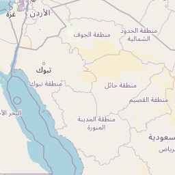


Leaflet | © OpenStreetMap contributors
Time
Current local time in Irbid:
Time: 16:57 +03
Date: 2025-02-21
Sunrise and Sunset
| Date | Sunrise | Sunset |
|---|---|---|
| 2025-02-21 (Today) | 07:11 | 18:28 |
| 2025-02-22 (Tomorrow) | 07:10 | 18:29 |
| 2025-02-23 | 07:09 | 18:30 |
| 2025-02-24 | 07:08 | 18:31 |
| 2025-02-25 | 07:07 | 18:31 |
| 2025-02-26 | 07:06 | 18:32 |
| 2025-02-27 | 07:05 | 18:33 |